Bandaje Falls trek Blog
BANDAJE FALLS TREK
Ballarayanadurga is a concealed fort on top of a dense forest in the Western Ghats which stands with shattered walls as a distant reminder of its past when it was built in the 12th century by the Hoysala Empire. Situated at the height of 5000 feet, the whole valley glitters with natural colors during sunsets and makes an ideal place for trekking and camping with mesmerizing views around
-
- Difficulty level : Moderate
- Trek Length : 16 Kms in total (Two way)
- Distance from Bangalore : 308 Kms (One Way)
- Minimum Age : 10 Years
- Weather : 20 to 27 Degrees (March to June)
- Attraction : Beautiful Landscape
- Maximum altitude : 4950 ft
- Best time to visit : during monsoon and post monsoon [ JUNE – JANUARY ]
-
ABOUT
Located in the Charmadi ghat section of the Western Ghats in the Belthangady taluk of Dakshina Kannada district, the trek has the most serene and pristine landmarks like Rani Jhari Falls, Ballarayanadurga Fort and Bandaje Arbi.
Ballalarayana Durga – Bandaje falls trek is a combination of two treks — Ballalarayana Durga and Bandaje Arbi — because many do not know they can go all the way to Bandaje waterfalls when we say Ballalarayana Durga trek.
Arbi in local language means “waterfalls” and hence the words Bandaje Arbi, Bandaje Arbi falls, Bandaje falls are used interchangeably.
HISTORY OF BALLARAYANADURGA FORT
The Ballalarayana Durga Trek holds an abandoned fort from the 17th century at its peak, which was built by Hoysala King Veera Ballala . Another interesting feature of the Ballalarayana Durga trek is the Rani Jhari cliff where the local queen slipped and fell to her death. The cliff is a sight to behold during the monsoons.
BY THE WAY THIS LOCATION IS AMAZING IN THE MONSOON SO THERE WILL BE HEAVY RAINFALL FOR THAT HIGHLY RECOMMEND RAIN COAT https://amzn.to/3zfMeUe

WHAT ALL CAN BE SEEN IN THIS TREK
-
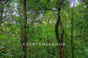
THE INITIAL FOREST SECTION : Although the forest section is short, it is filled with life. Watch out for its age old trees, a variety of insects, birds and flora.
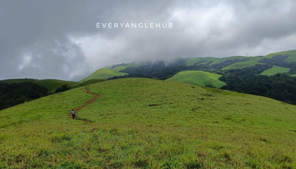
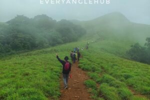
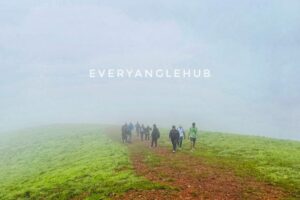
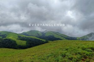
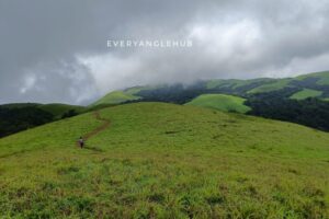
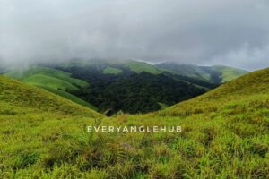
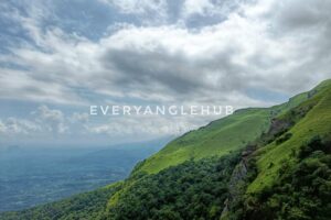
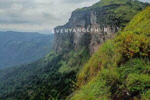
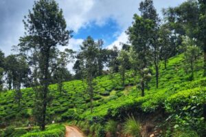
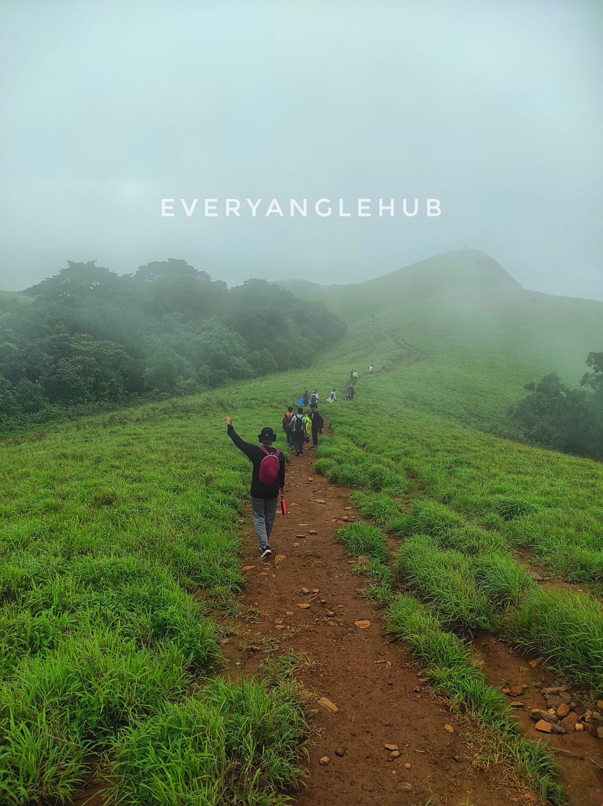
- THE MESMERIZING BEAUTY OF WESTERN GHATS : The grasslands on the trek are so pretty that they almost resemble the Ali and Bedni meadows of the Himalayas.
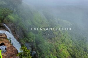
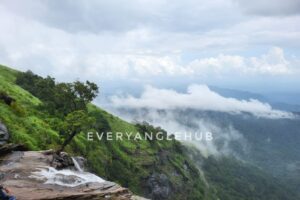
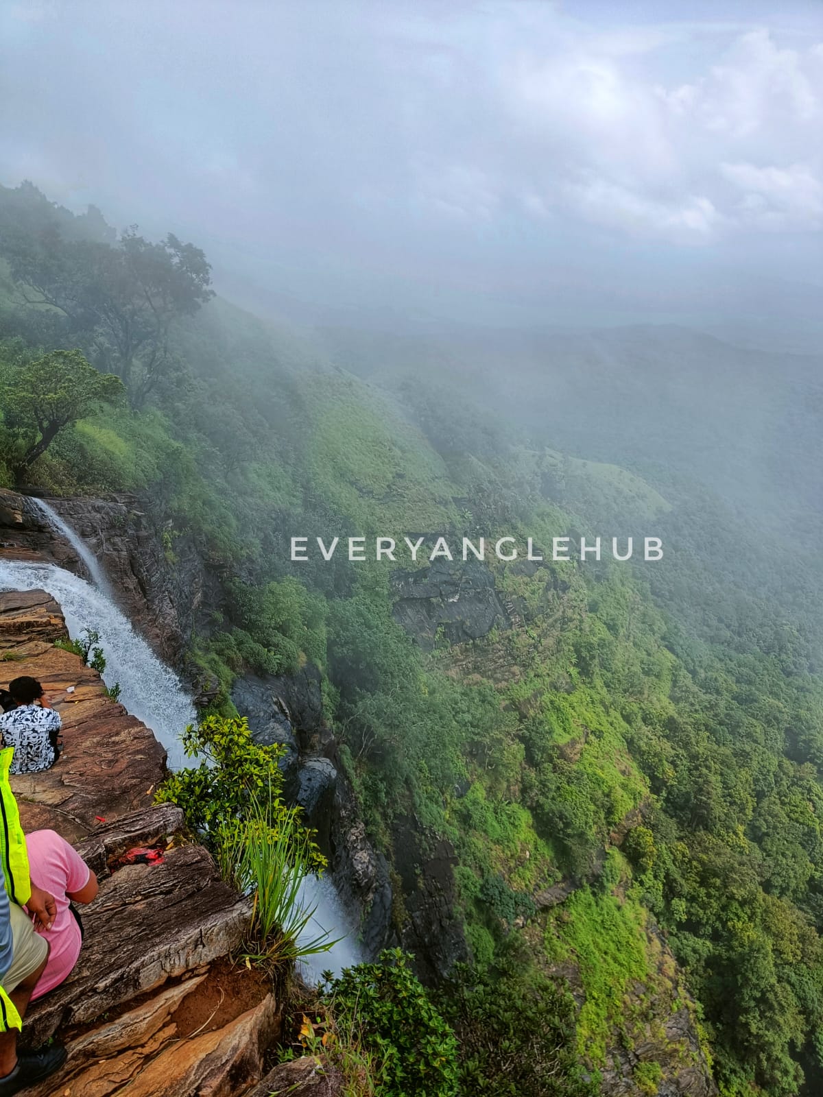
- WATERFALL VIEW FROM THE PEAK : There are only a handful of treks that allow you to see the water falling from the snout over a 100 feet to the ground. And Ballalarayana Durga trek is one of them!
THE TREK INFORMATION
Ballalarayana durga trek is one of the treks where it starts from a relatively higher altitude, hence the climb to the fort is not too tiring. However, you will descend almost 1,300 feet to bandaje waterfalls and get back up the same way, covering approximately 6.5 kilometers overall.
Based on the distance and the altitude gain, the trek is divided into two sections:
| Section I: Kalabhairaveshwara Temple to Ballalarayana Durga Fort
| Section II: Ballalarayana Durga Fort to Bandaje Falls .
Now we will see about the section I :
Trek distance: 3 km
Trek duration: 1 hour and 30 minutes
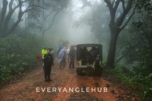
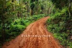
The trek starts from Kalabhairaveshwara temple. The route from the temple to the starting point or the forest checking is a muddy steep road which is slippery during monsoon .
Jeeps and other SUVs can go all the way up to the start point covering a distance of 1 kilometer. If you are in a normal sedan, we recommend you park your vehicle at the temple and start trekking from there.
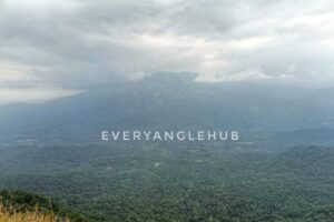
Near the forest checking towards the right around 900 mts is the rani jhari view point where you can see the spectacular beauty of kudremukh region, ballarayanadurga fort and even the starting point of bandaje falls trek .
Once you arrive at the actual trek start point, notice an old forest department billboard, a dustbin and a check post-like barricade.
Even though the trek is not challenging, you may get dehydrated due to exertion, especially in autumn and in months leading up to summer.
| HEY WE HAVE A TIP : Keep your water bottle handy and take small sips of water every 15 minutes. Do this even if you don’t feel thirsty. This trick will keep you hydrated throughout and helps regain the water lost through sweat.
NOW THE ONLINE BOOKING OF FOREST ENTRY TICKET IS MANDATORY SO DON’T MISS IT U CAN BOOK AT https://www.karnatakaecotourism.com/treksdetail/TRK139
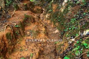
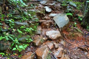
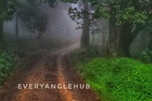
As you start from the forest checkpoint you enter into a lush green forest and in monsoon it would be slippery where the path or the trail is filled with rocks and the mud . And in the monsoon this forest trail would be filled with leeches . 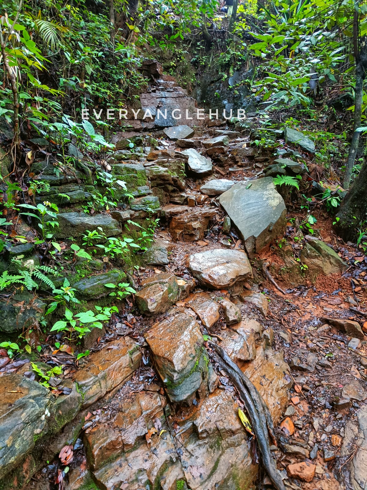
| HEY WE HAVE A TIP : Apply Dettol or Savlon Liquid at the base to avoid leeches if you are scared of them. If you are not too worried, the best option is to remove them once you reach Bandaje falls. A few leeches sucking a few drops of blood won’t do any harm.
In about 100 meters after you have climbed the vertical rock face and crossed a zig-zag path, you will arrive at the first clearing.
You will get the second view of Ballalarayana Durga fort from here. You cannot make out at first as the fort is in complete ruins. All that is remaining of the fort now is one or two rows of foundation rocks.
From the second clearing Ballalarayana Durga fort is accessible with a gradual ascent to the summit. This is your final push to the fort.
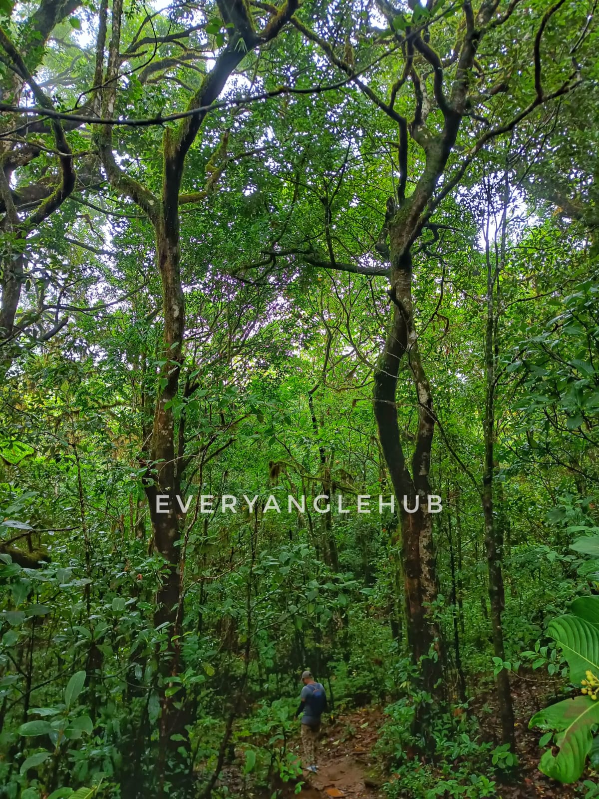
Upon reaching the fort which covers a large area, explore the ruins, the bastions on the edges, stone carvings and rest for a while by taking in the panoramic views of the Shola grasslands and Shola forests on one side, and Kudremukh national park and its peaks on the other.
You can also see the Rani Jhari viewpoint and the Kalabhairaveshwara temple from where you started your trek.
IN THE SECTION II : FROM BALLARAYANADURGA FORT TO BANDAJE FALLS
Trek Distance: 3.8 kilometers
Trek duration: 2 hours and 30 minutes
From the Ballalarayana Durga fort, take the same route back from where you entered the fort. Descend for approximately 350 meters until you reach the point from where you had the last push to climb to the fort. At the deviation here, take the grassland trail on your left to proceed towards Bandaje falls.There is also an alternate route to Bandaje falls from Ballalarayana Durga fort.
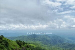
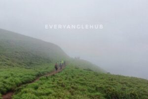
Continue on the trail while enjoying the 360° view of the Western Ghats. Don’t be surprised if the clouds accompany you by floating right beside you!
The entire trail from the fort till the waterfall is on rolling hills. You will come across three to four mounds which you ascend and descend.This patch in autumn and winter looks desolate and is filled with sand in between rocks. It makes you wonder if any river flowed here once upon a time to carry all that sand!
About 3.8 kilometers from the fort and two and a half hours later, the trek starts to descend towards the final downhill to reach Bandaje falls.At this descent, you cannot make out if there is really a waterfall at the end. You will not hear the water flowing between rocks, nor will you see any signs of water.
BY THE WAY THIS LOCATION IS AMAZING IN THE MONSOON SO THERE WILL BE HEAVY RAINFALL FOR THAT HIGHLY RECOMMEND RAIN COAT https://amzn.to/4bexiTF

It is only when you reach the section filled with thick trees will you hear the water flowing. You start to smile from the inside upon hearing the sound of flowing water.After a 4-hour journey, the thought of drinking the fresh, unspoilt water and dipping your feet to cool off brightens your mood.
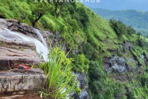
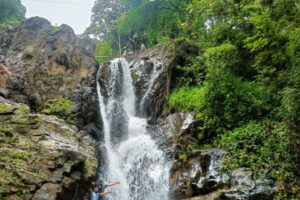
The first glimpse of the water gushing through rocks is a sight for sore eyes.The waterfall looks different in each season. In autumn and winter, the water gently flows until it drops down from the peak . The same waterfall in monsoons the water gushes with such force it looks as if it is milk that is flowing. 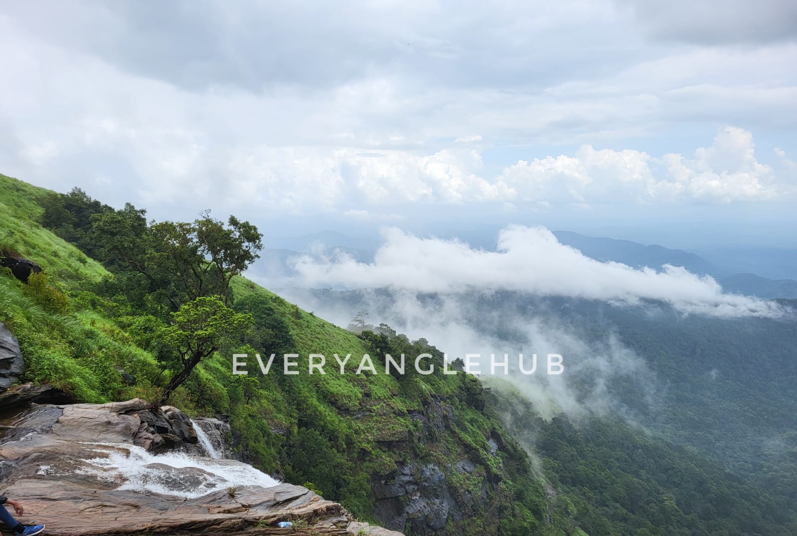
CAUTION : From the peak of the waterfall be careful while admiring nature as the rocks would be slippery and you are 1000 ft in height from the ground level.
Do not forget to take in the view from the peak of the waterfall. On a clear day, you may see the outline of Mangalore district on your right, whereas the forests of Dakshina Kannada district are always in front of you.
HOW TO ARRIVE
BY ROAD : There are both government run and private buses that travel to Horanadu. Most buses start from Bangalore after 10:30 pm and reach Mudigere around 5:30 am the next morning. Take a bus from Mudigere to Sunkasale and from Sunkasale to Durgadahalli a jeep or a minibus that goes to Durgadahalli.
BY TRAIN : nearest railway station is mangalore central around 118 kms .
BY AIR : nearest airport is mangalore airport.
International airport is Kempegowda international airport bangalore. 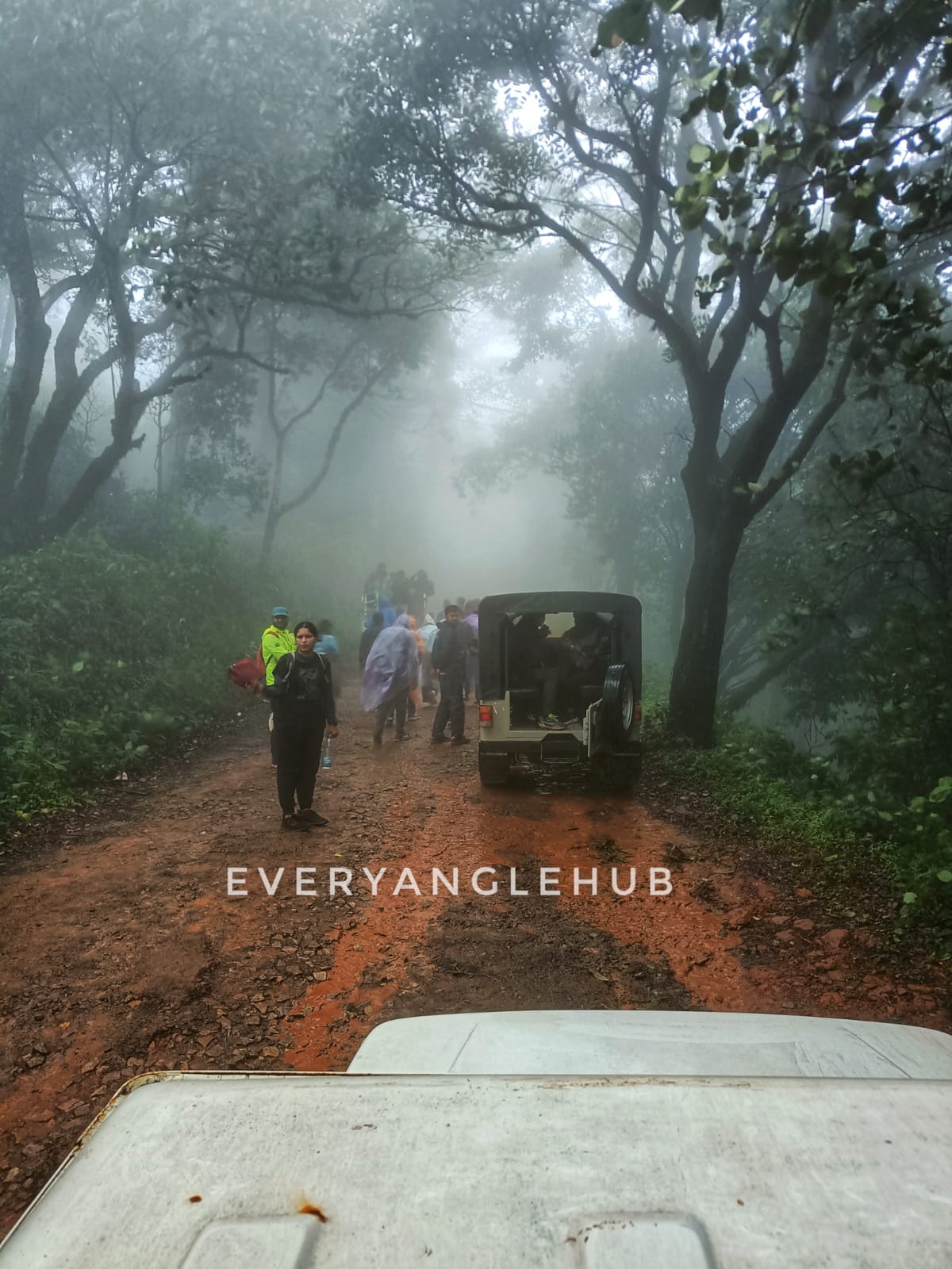
|GREEN NOTE : Please trek responsibly and take back disposable plastic wrappers, bottles and packaging with you and dispose of them in a dustbin once you reach your city. Do not leave behind your waste, leave your footprints .
IF YOU WANT TO DOWNLOAD THESE BEAUTIFUL IMAGES THEN CHECK IT OUT HERE

